 |
| Aigburth
Vale |
|
| There
is another Thingwall in Liverpool, an ancient
township that has now lost its identity, having
been subsumed into Knotty Ash. Like its
counterpart in Wirral, the small 175 ft (53 m)
high hill on which the settlement was established
was a major meeting place or parliament for the
Viking communities of south-west Lancashire.
Scandinavian culture became dominant in the area
until the Norman conquest (even they were
frenchified Vikings). The local language would
have merged with that of the settlers, but would
have had a predominantly Scandinavian character.
The only current Scandinavian dialect word that I
am aware of is the local gastronomic delicacy scouse,
from a rather later generation of Norwegian
sailors. |
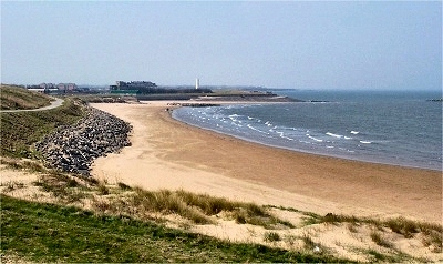
| Croxteth
is Viking in origin, meaning Krokr's landing
place. Vikings are thought to have sailed up
the River Alt and established a settlement here
in the 10th century. Looking at the river now, it
is hard to imagine Viking ships here, but up to a
few hundred years ago, before the construction of
flood gates near the estuary and the expansion of
Liverpool depleted the water supply at both ends,
it was a much more substantial waterway. |
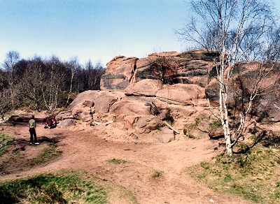
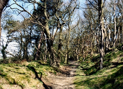
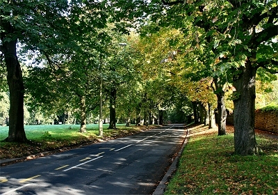
| Finally,
in the south of Liverpool, Aigburth is Old Norse
for hill with oak trees (not
inappropriate even today). The original
settlement probably lay on the banks of the old Osklesbrok, on the slopes up
towards Mossley Hill. Other names of Liverpool
suburbs with a Viking Origin are Aintree (lone
tree, possibly a landmark in an area noted
for its lack of trees), Kirkdale (another church,
this time in a valley), Litherland (sloping
land, and it does), Roby (boundary village,
cf. Raby in Wirral, on the boundary of the
Scandiavian dominion) and West Derby (deer
settlement - there still are some in
Croxteth Park). |
|
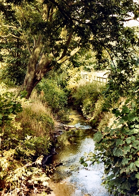 |
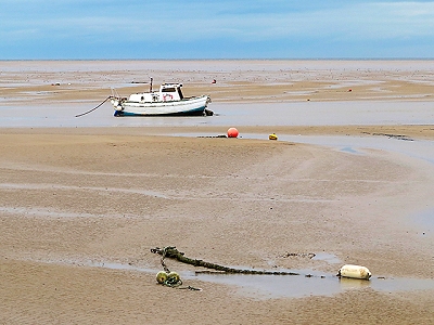
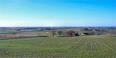
| The
River Alt at Croxteth Park |
|