 |
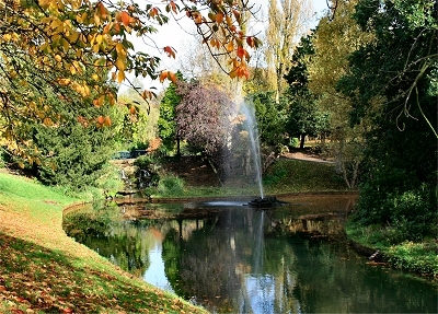
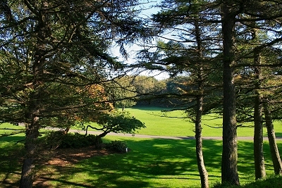
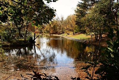
| Sefton
Park Lake |
 |
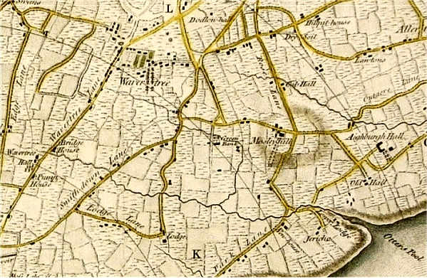
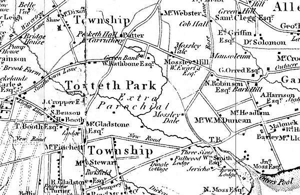
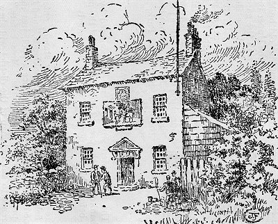
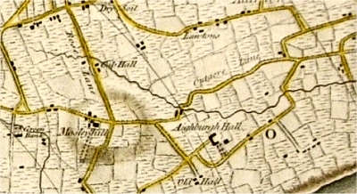
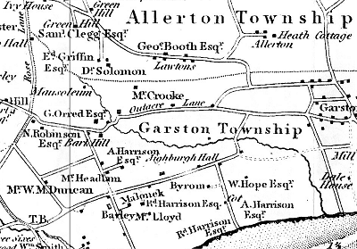
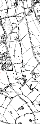
| John
Moss's Estate in 1810 |
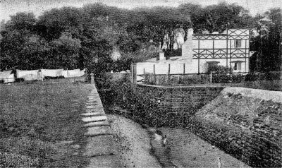 |
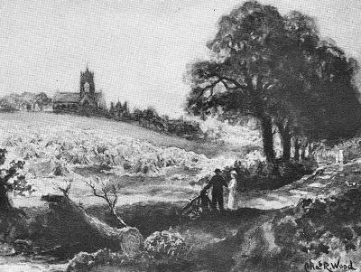
| The
Old Mill at Otterspool |
|
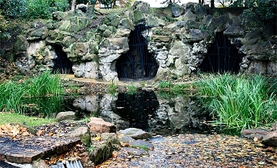
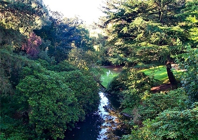
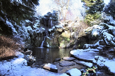
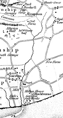
| The meeting of
the Lower and Upper Brooks formed the Osklesbrok,
later known as the River Jordan by the
local Puritan community. It once marked the
southern boundary of King John's hunting domain
Toxteth Park. The river was dammed in about
1870 to form a lake during the construction of
Sefton Park. |
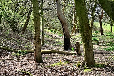
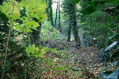
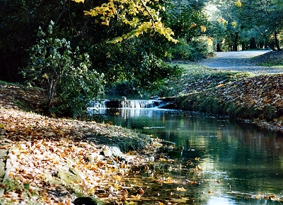
| The river
originally flowed across the route of modern
Aigburth Road at Aigburth Vale (now a dip in the
road with a culvert draining overflow from the
lake) and into a deep ravine at the northern tip
of the present Otterspool Park. This was once a
most picturesque wooded valley, where the waters
flowed through pools and a series of cascades at
least until the 1820s. There was a dam called the
Water-Lily Dam with a pool behind it.
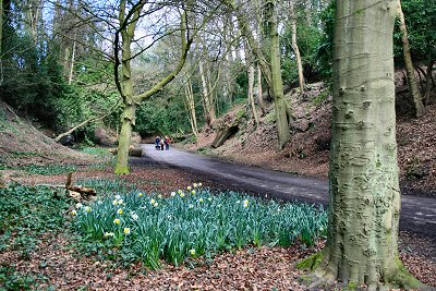
The river bed is nowadays essentially dry with a
pleasant and peaceful surfaced path. Near the
railway bridge and the site of the disused
Otterspool Station stood the hunting lodge known
as the Lower Lodge. Fragments of the
Norman sandstone building have been found here. |
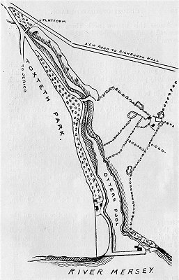
| The Osklesbrok
emerged into the River Mersey at a large tidal
inlet known as the Otters Pool, now a
grassy hollow among trees behind the riverside
embankment. This historic location may already
have been in use as a fishery in Roman times;
many Roman coins have bean found in the area. A
few hundred years ago, all kinds of fish could be
found here, including
salmon, codling, whiting, fluke, sole and
shrimps. The
plentiful supply of food would have provided a
perfect habitat for Otters. The name of the
locality goes back to mediaeval times (Otirpul
in the 13th century). By 1900 the fish had
largely disappeared because of pollution. |
| Liverpool
Corporation purchased the area from the Manor of
Garston in 1779 and leased it to the snuff
manufacturers Tate, Alexander and Wilson. They
enclosed the mouth of the Otters Pool to make a
dock with lock gates and built a snuff mill with
workers' cottages. |
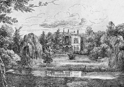
| Around 1811 the
estate was bought by timber merchant and banker
John Moss, who built a mansion by the side of the
pool and turned the snuff mill into an oil mill;
boats landing coconuts were a frequent sight. He
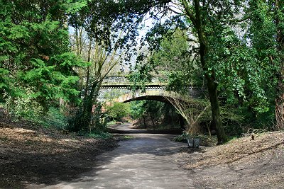
also had the carriageway constructed. The Garston
and Liverpool Railway arrived in 1864 when
Otterspool Station was opened. Liverpool Corporation bought the
estate in 1925. The house then fell into a poor
state and was demolished in 1931. Otterspool Park
opened in 1950 and a café, now derelict, was
built on the site of the house. Only the terrace
and some landscaping from the original house
survive. Otterspool Station was closed in 1951. |
| The present waterfront
promenade has its origins in 1919 with the City
Engineer's plan to enclose the foreshore from
Garston Docks to the Dingle behind a massive
river wall, to be filled in with waste.
Construction of the wall took from 1930 to 1932
at a total cost of nearly £200,000. Most of
Liverpool's domestic waste up to 1949, together
with material from the excavation of the first
Mersey tunnel, ended up here. The savings in
comparison with the alternative, incineration,
more than offset the combined construction and
subsequent development costs. The resulting green
spaces, paths and riverside promenade were opened
to the public in 1950. |
|
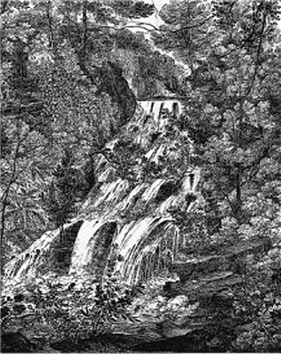 |
| Waterfall
on the Osklesbrok 1821 |
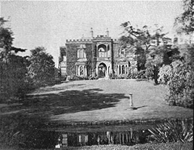
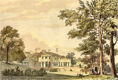 |
| Otterspool
House |
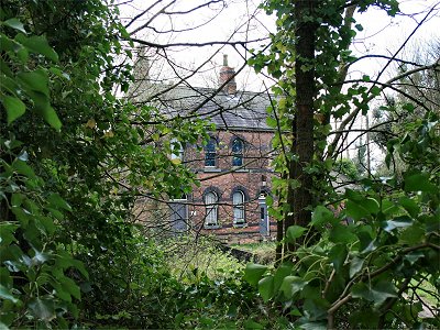 |
| Otterspool
Station |
|