| Introduction |
| The area
covered by the conurbation of modern Liverpool
was once traversed by a number of small rivers or
streams, the scant remains of which can still be
seen in some places. Uncovering these lost rivers
provides a fascinating insight into the landscape
of the past. They disappeared mainly because of
widespread building and the subsequent
redirection of rainfall into the sewerage system.
They were historically important as sources of
water and power, drainage, district boundaries
and, even many years ago, recreation. Latterly
they were also conduits for pollution and
disease. Liverpool itself was established at the
mouth of one such river, The Pool, where
it entered the River Mersey. |
| I have followed
the rivers from the centre of Liverpool to the
south and then to the north. Modern reference
points that I have used to describe their courses
are as accurate as I can manage, but may not be
precise. |
| Info |
| This site is
the work of Laurence Scales and is part of allertonOak. |
| The site is
entirely non-commercial and is intended for
educational purposes. |
| The site is
best viewed at a minimum of 1024x768 pixels
resolution. The page layout will be optimal with
your browser at about 1200 pixels wide. |
| Modern colour
photographs on this site are by the author except
where specified; you may copy these for
non-commercial purposes only, but please place an
acknowledgement to www.allertonoak.net at their point of use. |
|
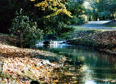 |
| The
Upper Brook in Sefton Park |
|