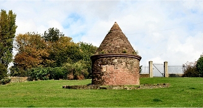
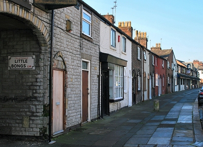
| Everton |
| Let
us begin with the road to Everton. This
left town along Town's End Lane and turned
towards Everton village as Causeway
Lane. On the way it passed a famous pub known as
the Loggerheads. |
| |
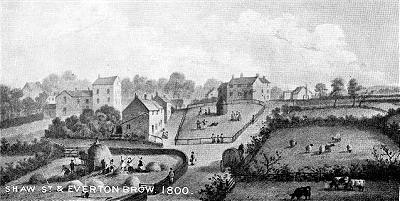
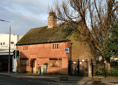
The road called
Everton-brow has, from time immemorial, been the
main passage from Liverpool to Everton; its first
known name was Causeway-lane, afterwards it long
went by the name of Loggerheadlane, and for the
last forty years it has been styled Everton-brow,
until recently, the lower or west end has been
honoured with the more dignified title of the
Crescent. This road was formerly narrow, and in
poor plight. It may serve to give an insight into
its former state, and also to shew some other
points connected with the neighbourhood of that
thoroughfare, to use the words of an elderly
gentleman, who well remembered the circumstances
of which he treats; "The communication (from
Everton) with Liverpool was through a deep sandy
lane, the cops or hedges on each side not being
many yards asunder, nor was there any parapet or
foot path to accommodate pedestrians: just within
the limits of Liverpool, at a long low house,
where the late Mr. Nicholson long resided, was a
small ale-house, near to a dyer's pond - the
latter surrounded with willows. This public-house
was called the Loggerheads, and was of much
celebrity in former days, which it first obtained
from the civility of the landlady, and the choice
and nourishing qualities of the viands and
beverage she dispensed [...]" [HOE] |
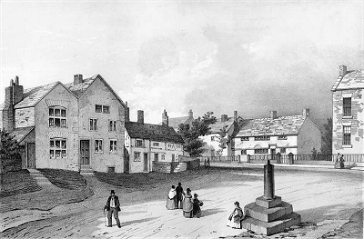
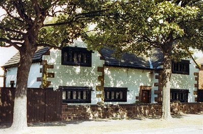
| Everton
was a popular area among city dwellers for rural
walks. Numerous commentators mention the
beautiful views (as they remain to this day). |
| |
There were several
very pleasant country walks which went up to Low
Hill through Brownlow Street [...]. We used to go
to Low Hill and thence along Everton Road, on
each side of which was a row of large trees, and
we returned by Loggerhead's Lane, and so home by
Richmond Row. I recollect very well the brook
that ran along the present Byrom Street [one of
the streams feeding the Pool], whence the tannery
on the right-hand side was supplied with water. [ROL] |
| |
The agreeable
village or suburb of Everton, denominated, from
the salubrity of its air and the pleasantness of
its situation, the Montpelier of Lancashire, is
seated on a bold eminence opposite to the bay of
Bootle [...]. The prospects are very beautiful;
and from the western parts of Everton Hill may be
seen the fertile lands of Cheshire, the mountains
of Wales, the river Mersey, and the expanding
Irish Sea with its numberless vessels. From its
proximity to Liverpool, it has become the
residence of many respectable and wealthy
families; numerous streets and crescents have
been formed, and the township is studded with
handsome detached mansions and villas. [TDE] |
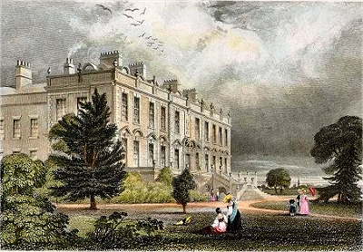
|
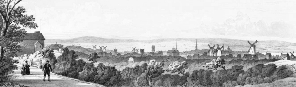 |
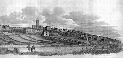
| Liverpool from Everton in
1797 |
| In the summer it was
the delight of holiday-makers. A day's
"out" to the Beacon, at Everton, was a
very favourite excursion. The hill-side on
Sundays used to be thronged with merry people,
old and young. The view obtained from Everton
Beacon-hill was a view indeed. And what a
prospect! What a noble panoramic scene! I never
saw its like. I do not think, in its way, such an
one existed anywhere to be compared with it. At
your feet the heather commenced the landscape,
then came golden corn-fields and green
pasture-lands, far and wide, until they reached
the yellow undulating sand-hills that fringed the
margin of the broad estuary, the sparkling waters
of which, in the glow and fullness of the rich
sunshine, gave life and animation to the scene,
the interest of which was deeply enhanced, when
on a day of high-tide, numbers of vessels might
be seen spreading their snowy canvas in the wind
as they set out on their distant and perilous
voyages. In the middle ground of the picture was
the peninsula of Wirral, while the river Dee
might be seen shimmering like a silver thread
under the blue hills of Wales, which occupied the
back ground of the landscape. Westward was the
ocean, next, the Formby shore attracted the eye.
The sand-hills about Birkdale and Meols were
visible. At certain seasons, and in peculiar
states of the atmosphere, the hummocks of the
Isle of Man were to be seen, while further north
Black Combe, in Cumberland, was discernible.
Bleasdale Scar, and the hills in Westmoreland,
[were to be] dimly made out the extreme distance.
[...] The eye moved then along the Welsh hills
until it rested on the Ormeshead and travelled
out upon the North sea. Below us, to our left,
was the town of Liverpool, the young giant just
springing into vigorous life and preparing to put
forth its might, majesty and strength in Trade,
Commerce and Enterprise. [ROL] |
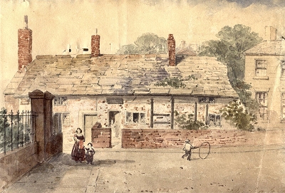
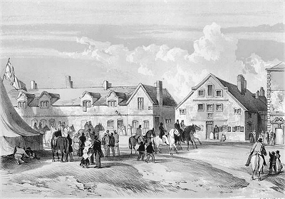
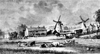
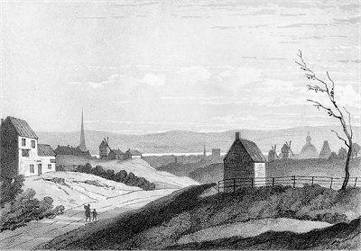 |
| Liverpool from Low Hill
c.1840 |
|