 |
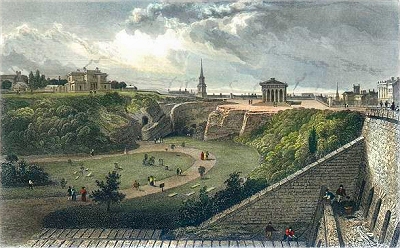
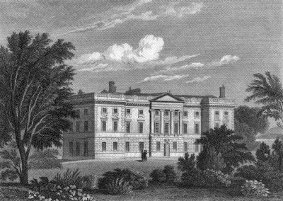
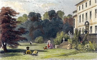
| Wavertree
Hall in the early 19th century |
 |
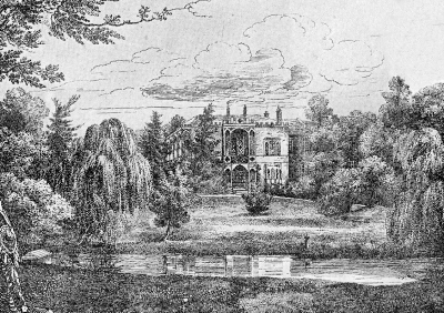
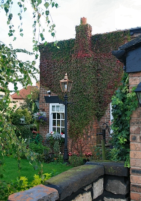
| White
Cottage |
 |
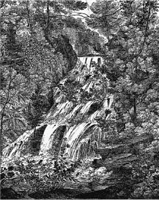
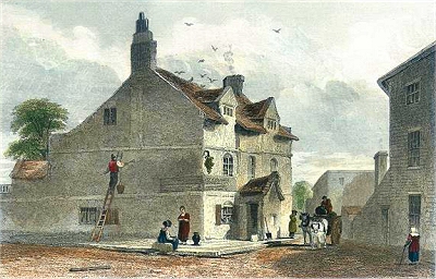
| The
Coffee House |
 |
| Holy
Trinity Church |
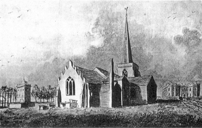 |
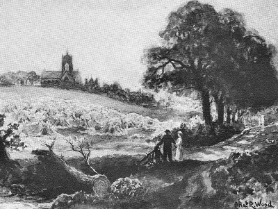
| Tower
Cottage, All Saints Church and Childwall Abbey
c.1810 |
 |
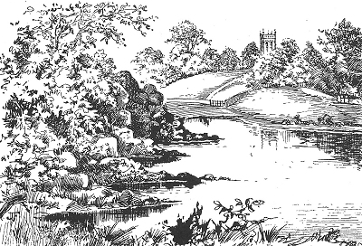
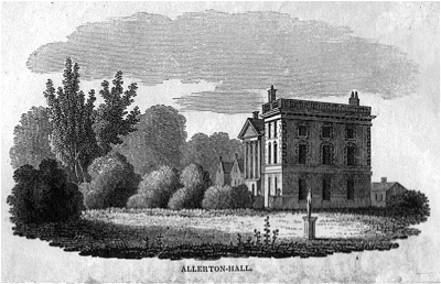
| Childwall
Abbey |
 |
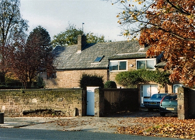
| Gateacre
Chapel |
 |
| Woolton
Hall |
|
| Wavertree,
Childwall, Gateacre and Woolton |
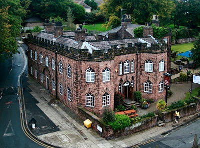
| The
other main road out of Liverpool to the south was
Wavertree Lane. This connected to Edge
Lane via Rake Lane. A little further out on
the left was Wavertree Hall, the grounds
of which by 1836 housed the Liverpool Botanic
Gardens; they had had to be relocated because of
pollution. Bridge House marked a bridge
over the Lower Brook and the road led on to Wavertree
village. |
| In the
1700s, Wavertree was still a country
village with only about 50 houses. However, by
the end of the century, rich merchants already
had their eye on the area as a place to build
their villas away from the increasingly polluted
atmosphere of Liverpool. |
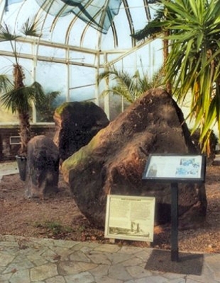
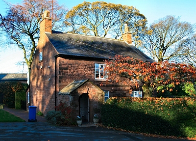
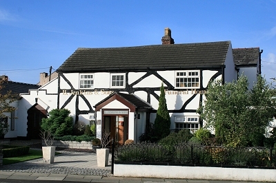
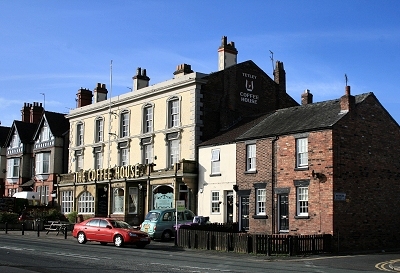
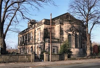
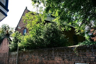
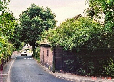
| Wavertree
village still boasts some structures dating from
before the 19th century: the Monk's Well (said to
be 1414), White Cottage (17th century), Mill
Cottages (1730), the Coffee House (bef.1777),
Wavertree Lock-Up (1796) and Holy Trinity Church
(1794). |
| Other roads
around Wavertree village were Cow Lane,
Lance Lane (after insurance broker
and merchant Thomas Lance) and Heathfield
Road. Back roads towards Childwall were Kettle
Nook and Moss Pit Lane, joined by Limekiln Lane.
These roads seem to have enclosed some kind of
park in an earlier time. Also in this area were
Priory Lane (after the farmhouse called Childwall
Priory) and Score Lane (an old word for pasture).
The main road to Childwall village was
Childwall Abbey Road, while Gateacre Lane headed
across Childwall Heath to Gateacre
(also known as Little Woolton). |
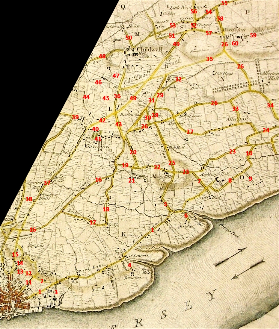
| Childwall
had been around for many centuries. It was the
centre of a large and ancient parish predating
Liverpool and covering the townships of
Childwall, Wavertree, Much Woolton (Woolton),
Little Woolton (Gateacre), Garston, Allerton,
Speke, Hale and Halewood. |
| The name
Childwall denotes the field of the well and the
eponymous well (known as the Monks'
Bath) can be seen on the map just to the north of
the church; a stream flowed from it into
Childwall Brook. The road running alongside the
field in which it was located was Well Lane,
which led to Childwall House. |
| |
The roads from
Liverpool [to Childwall] are deep and sandy;
consequently rather unpleasant; but the views are
rather extensive, particularly from a summerhouse
on Childwall Hill [shown on the map, at the
highest point near the present Woolton
reservoir], about three miles distant, where you
have a prospect of fifteen counties and a good
view of the sea. In the skirts of this hill are
several small villages with gentlemen's seats
scattered about, well covered and for the most
part delightfully situated. [Childwall,
Samuel Derrick, 1760] |
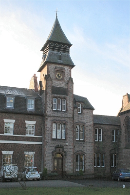
| The focal
point of the village was (and remains) All Saints
church, parts of which are Norman and Saxon and
much of the rest mediaeval. Next to it could be
found the Bloody Acre, named after a Civil War
skirmish of 1640, and the building known since
the 19th century, when it was an inn, as
Childwall Abbey. The origins of Childwall Abbey
have been much disputed - it is most likely a
renovated chapel. The grounds of Childwall Hall
stood opposite. The original, possibly 17th
century, hall, seat of heirs of the Ireland
family, was demolished in 1780 and rebuilt. Under
one Bamber Gascoyne in the early 19th century it
became a mock mediaeval fantasy until its final
demolition in 1949. |
| |
The views from the
neighbourhood of the church [...] are extensive
and particularly fine. On the west are seen with
more distant eminences, Aughton Hills, near
Ormskirk, traversing a line of country to the
north-east. The prospect from Prescot to
Farnworth terminates on the south-east with a
distant view of the ruins of Halton Castle - now
fast mouldering away - a range of hills beyond,
and Norton Priory. [...] A large portion of the
Mersey water forms one of the features of this
scene, and gives great interest to a landscape
that extends nearly fifteen miles. [Fragments,
Matthew Gregson, 1817] |
| |
Childwall Hall [...]
is in the castellated style, after a design by
Nash; the park and grounds are in beautiful
taste, and the scenery forms a panorama almost
unrivalled in beauty and extent. [TDE] |
| On Gateacre
Lane the original two-storied Eton House, which became Bishop Eton, had
been built in 1776 as a boarding school for boys.
It was to be acquired in 1797 by Dr. Peter
Crompton, whose name survives in Crompton's Lane.
Near Gateacre village, New Lane came in
from Childwall and the road dropped down Gateacre
Brow to the main crossroads. Here Gateacre Chapel
(still standing) had been built in 1700 for the
local English Presbyterian congregation. |
| Gateacre
village is historic, though the name itself seems
to date only from the 17th century. The
crossroads would have been an ancient stop-off
point and there was probably at least one inn
going back over the centuries. The road from Childwall
to Hunts Cross (Childwall Lane/Halewood
Lane/Mackits Lane) was part of the old packhorse
trail from West Derby to Hale, which predates
Liverpool itself. |
| |
[Gateacre] is
beautifully situated in a well-wooded vale, and
is adorned with several gentlemen's residences.
In the village is a Unitarian place of worship
[...] which has an endowment of 20 acres of land,
with a house for the minister. [TDE] |
| Off
Childwall Lane were a house and farm called Gossty
(Gorsey) Cop and beyond that Cockshead
Farm. The fourth road from the crossroads was
Belle Vale Road. |
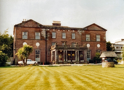
| Gateacre
Lane continued in Woolton village as
Acrefield Lane, where it was met by Out Lane.
Woolton grew up around the important sandstone
quarrying activity there. Here was, and remains, Woolton Hall. It was built for the Molyneux
family, as was Croxteth Hall, in 1704 by an
unknown architect, though extensively modified
later in the century. |
| |
The chapelry [of
Woolton ...] is beautifully situated amidst hill
and dale; the air is salubrious, and mansions of
the wealthy abound. [...] The views are extensive
from the higher grounds, including the course of
the Mersey, the Cheshire hills, and the mountains
of Wales. A large stone-quarry is wrought. [TDE] |
| Leading out
of Woolton were Sandy Lane and School
Lane, the latter taking its name from the Old
School House of 1610 that still stands there. |
|
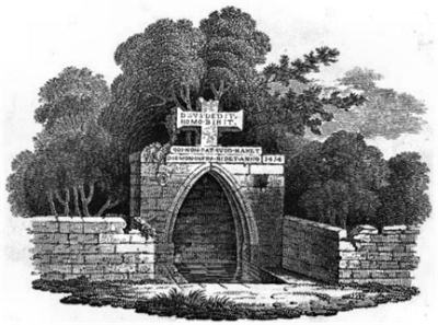 |
| The
Monk's Well c.1810 |
 |
| Mill
Cottages |
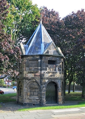 |
| Wavertree
Lock-Up |
 |
| The
Bloody Acre |
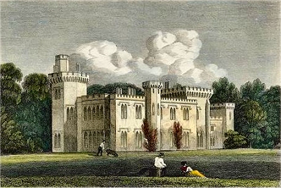 |
| Childwall
Hall c.1825 |
 |
| The
original Eton House |
 |
| The
Old School House |
|