 |
| Pilgrim
Street |
 |
| The
Philharmonic Dining Rooms |
 |
| St
Andrew's Church |
 |
| Notre
Dame Chapel |
|
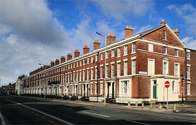
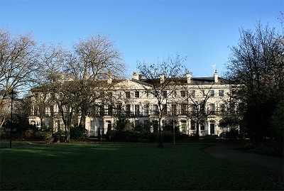
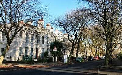
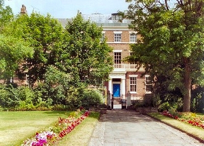
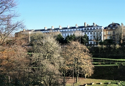
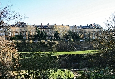
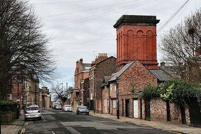
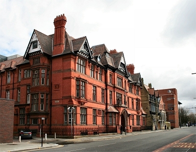
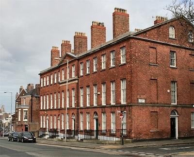
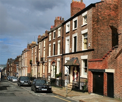
| Pilgrim Street,
a back street connecting Upper Duke Street to
Hardman Street, has converted coach houses at the
back of Rodney Street down one side that lend it
a definite old world charm. One of the old
buildings is now an interesting and atmospheric
pub, the Pilgrim, the entrance to which
is tucked away in a little alley down some steps.
|
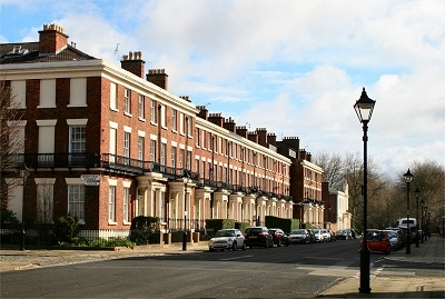
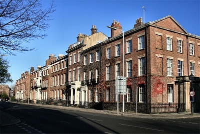
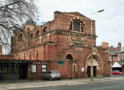
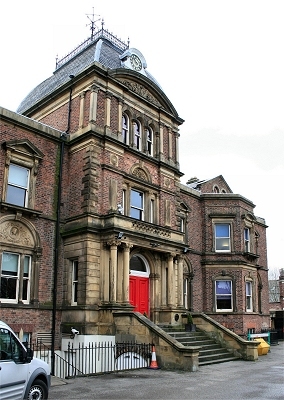
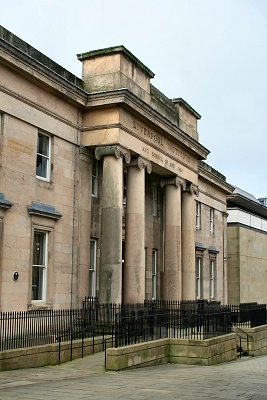
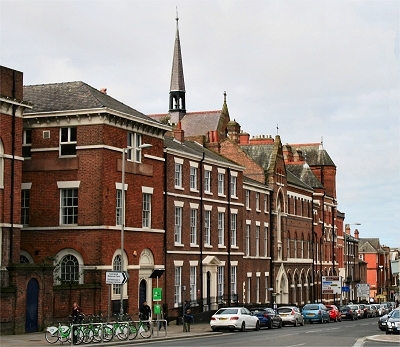
| The Old School for the
Blind on
Hardman Street was a new building of 1849-51
replacing an original that had to be demolished
for the construction of Lime Street Station. It
has recently been nicely refurbished as a
restaurant and bar. |
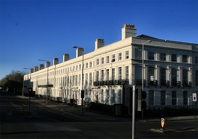
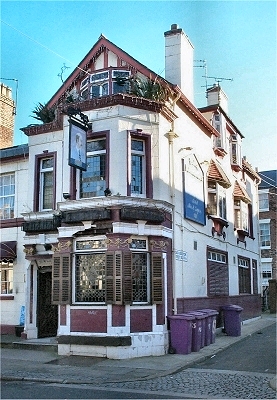
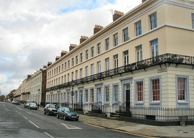
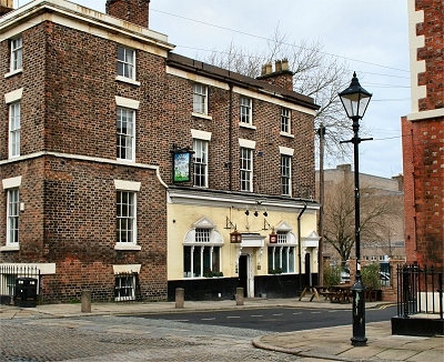
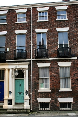
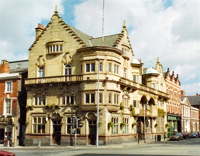
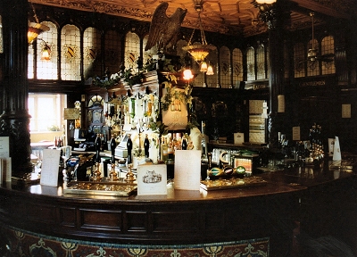
| The
Philharmonic Dining Rooms, probably
Liverpool's most famous pub, was designed by
Walter Thomas (who also designed the similarly
grand Vines on Lime Street) for Robert
Cain's brewery and was completed in 1900. The
exterior (recently restored) is a kind of
Scottish castle fantasy with magnificent art
nouveau wrought iron gates. |
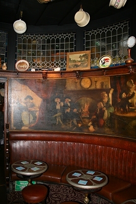
| Inside, there
is loving attention to detail with ornate
plasterwork, stained glass windows, glazed tiles
and mosiac floors, with which the Liverpool
University Schools of Art and Architecture were
extensively involved. Accomodation is on the
grand scale, the several large rooms lined with
dark mahogany panelling and decorated with
carving, the work of ships' carpenters who built
the lavish interiors of the ocean-going liners of
the time. The huge room at the back (the Grand
Lounge) was once the billiards room. |
| Perhaps the
pub's most celebrated feature is the gents'
toilet, a somewhat dog-eared
extravaganza
in mosaic and marble (ladies may arrangement with
the management). With an appropriate conflation
of allusions to music and alcohol, two of the
rooms are called Brahms and Liszt.
One of these has an imitation minstrel gallery,
while in the other is a fine stained glass window
dedicated to music. The inscription reads 'Music
is the universal language of mankind'. I'll drink
to that. |
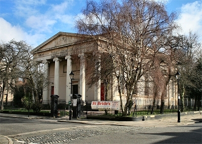
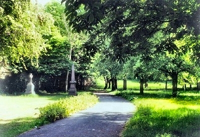
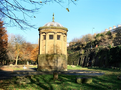
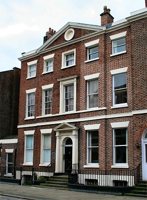
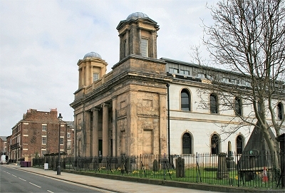
| St Andrew's
Church, originally St. Andrew's Scotch Kirk of 1824, is located at the
northern end of Rodney Street and now, after
renovation, houses student accomodation. The
original churchyard remains, featuring a strange
pyramid of 1868, which is the tomb of railway
magnate William Mackenzie, said to be buried in a
seated position. |
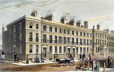
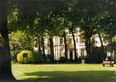
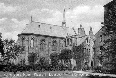
| Notre Dame
Convent evolved and expanded from the
house at 96 Mount Pleasant beginning in 1851. It
became the Notre Dame Collegiate School
in 1902, a direct grant grammar school in 1946
and a girls' comprehensive school in 1983. It is
now part of Liverpool John Moores University. The
view from Mount Pleasant is rather flat and
haphazard and the rear is now cluttered with more
recent developments, but the c.1900 photo here
shows the impressive chapel as it once looked. |
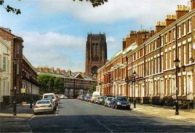
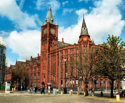
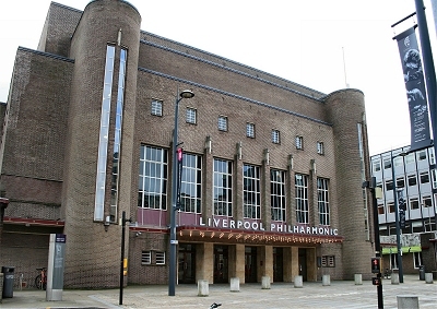
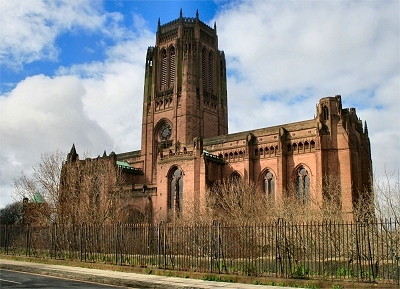
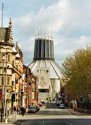
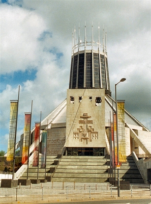
| The northern end of Hope
Street is completely dominated by Liverpool
Metropolitan Cathedral, a magnificent counterpoise to
the Anglican Cathedral at the southern end. |
|
 |
| The
Old School for the Blind |
 |
| The
Philharmonic Dining Rooms |
 |
| Notre
Dame Convent |
 |
| The
Metropolitan Cathedral |
|