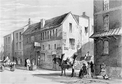
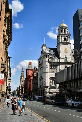
| I recollect
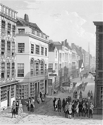
Dale Street when it was a narrow thoroughfare,
ill-paved and ill-lighted at night. It was not
half the present width. In 1808, as the town
began to spread and its traffic increase, great
complaints were constantly being made of the
inconvenience of the principal streets, and it
was agreed on all sides that something should be
done towards improvement. |
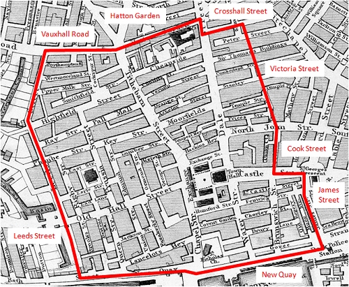
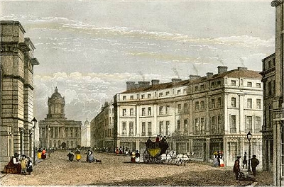
| The first
movement was made by widening Dale Street; the
improvement being by throwing the thoroughfare
open from Castle Street to Temple Court, but it
really was not until 1820 that this street was
set out in anything like a bold and handsome
manner. Great difficulties were constantly thrown
in the way of alterations by many of the
inhabitants, who had lived in their old houses,
made fortunes under their roofs, and were hoping
to live and die where they had been born and
brought up. Many tough battles had the
authorities to fight with the owners of the
property. Some were most unreasonable in the
compensation they demanded, while others for a
time obstinately refused to enter into any
negotiations whatever, completely disregarding
all promised advantages. |
| The most
obtuse and determined man was a shoemaker or
cobbler, who owned a small house and shop which
stood near Hockenall Alley. Nothing could
persuade him to go out of his house or listen to
any proposition. Out he would not go, although
his neighbours had disappeared and his house
actually stood like an island in the midst of the
traffic current. The road was carried on each
side of his house, but there stood the cobbler's
stall alone in its glory. While new and
comfortable dwellings were springing up, the old
cobbler laughed at his persecutors, defied them,
and stood his ground in spite of all entreaty.
There the house stood in the middle of the
street, and for a long time put a stop to further
and complete improvement, until the authorities,
roused by the indignation of the public, took
forcible possession of the place and pulled the
old obnoxious building down about the owner's
ears. [ROL] |
|
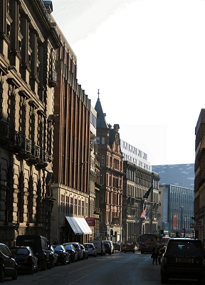
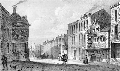
| Dale Street
was originally called Dele street from the Saxon
'Dele or Dale', a Valley. It was one of the four
leading streets of the town, proceeding from the
High Cross, which stood on the site of the
Exchange.The first mention of Dale street appears
in a deed bearing date, 15th April, 3rd of Edward
III [1315], in which Cecilia Utting 'in her pure
widowhood', gave to Richard de Walton the half of
a burgage in the town of Lyverpoll 'in le Dele
street'. [...] |
| Dale street
has always been a thoroughfare of great
importance - perhaps more so than either of the
other three original streets, as it constituted
the old way, by Ormskirk and Preston, to the
north. From its two inns, the 'Golden Lion' and
the 'Fleece', issued forth at one time strings of
pack-horses, consisting of fifty and sixty
quadrupeds laden with goods for the interior,
each horse's burthen weighing on an average three
cwt.; or they might have been seen returning with
produce for consumption or exportation - the
drivers herding together for safety on the
unprotected roads. [...] Previous to 1757 there
was not a single public conveyance out of
Liverpool. In 1766 there were two coaches to the
metropolis, which started from the Golden Fleece,
Dale street, on Tuesday and Friday mornings,
making the journey in two days in summer, and
three in winter. [...] |
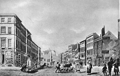
| The
principal inns in Dale street at that time [...]
were 'The Golden Lion', 'The Fleece', 'The Angel
and Crown', 'The Bull and Punch Bowl', 'The Wool
Pack', and the 'Red Lion'. All these houses have
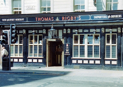
disappeared. The George, in Dale street, was
another favourite Inn, which stood on the site of
Rigby's Buildings, where the beauty of the
barmaids, at all times, proved a great attraction
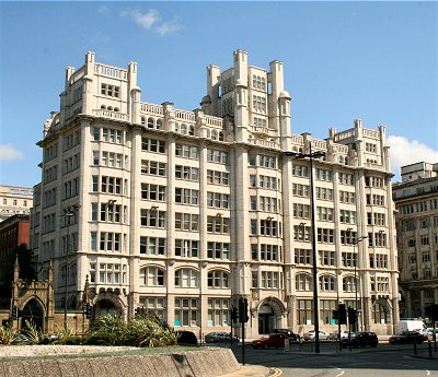
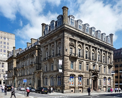
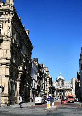
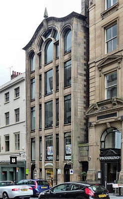
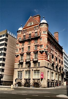
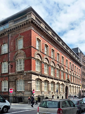
to the 'snobs' of the time. Dale street has in it
many beautiful buildings, such as the Temple, the
Queen Insurance Buildings, the offices of the
Liverpool Fire and Life, the Royal Bank
Buildings, the North Western Bank, Rigby's
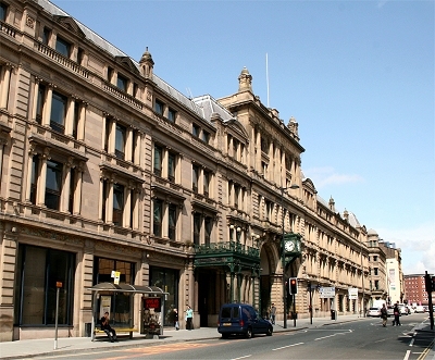
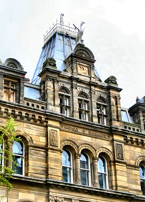
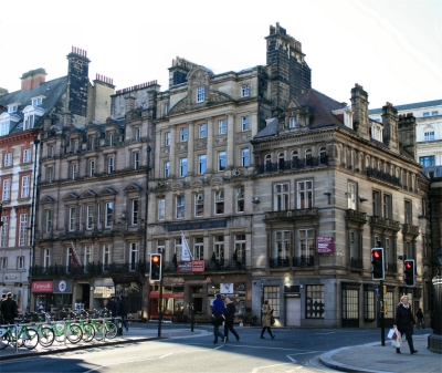
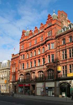
Buildings, and the Royal Insurance Offices. [SOL] |
|
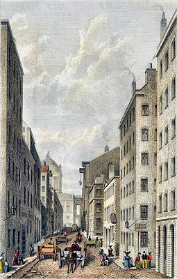
| Water
Street was originally called 'Bonke street', that
is 'Bank street'. Bonke street is first mentioned
in a deed bearing date of 'Sunday after the Feast
of the Invention of the Holy Cross, in the 43rd
year of the reign of Edward III'. [1355] wherein
'Adam le Clerk, of Leverpull, grants to William,
the son of Adam, of Leverpull, a piece of land 20
feet by 17, in Bonke street, between the
tenements of St. Nicholas (the chapel), and that
of John de Stanley [Liverpool Tower], or Staney'.
|
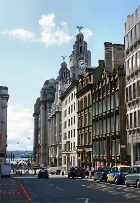
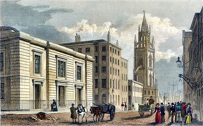
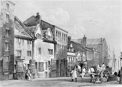
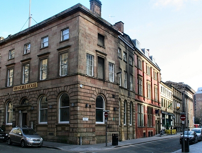
| Water
street is one of the oldest of the old streets of
the town, being the main approach to it from the
river, on the shore of which, at its foot, landed
the travellers from the south and west, by way of
Chester. The ferry-boats in the time of Edward
II. were owned by the monks of Birkhed, (Byrkheid
or Byrkheved, as it was then written). [...] The
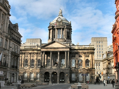
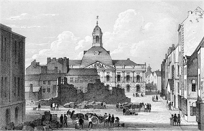
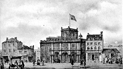
Town-hall stood in Water street previous to the
erection of the present edifice. Behind it were
the butchers' shambles and passages leading
therefrom. Pemberton's alley opened upon
Tithebarn street. Clayton's alley had its
entrance from Water street. These alleys
consisted of wretched houses, of which more than
one traveller, recording his experience of
Liverpool, complains. |
| High street
was then to the east of the Town-hall, and was
the junction between Castle street and Tithebarn
street, and lineable with Oldhall street. High
street was formerly called Jugglar street. The
first mention of it was in a deed dated 18th
August, 16th Henry VI [1437], in which John
Gregory, chaplain, gives, to William Gaythread,
of Leverpull, merchant, a piece of ground near
the Cross, below Dale street and Jugglar street.
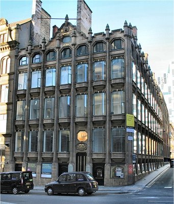
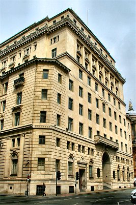
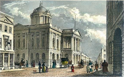
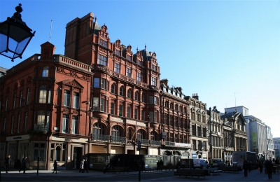
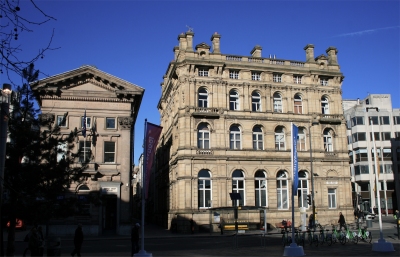
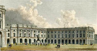
[...] The present magnificent suites of offices
in Water street are the marvel and admiration of
all strangers. Emanating from the taste and skill
of a Picton, and other well-known architects,
Liverpool is much indebted to these eminent men
for truly noble and beautiful commercial
buildings, where elegance of design is mingled
with convenience and comfort. [SOL] |
|