 |
| Mather's
Dam and Cottages 1850 |
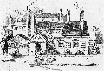 |
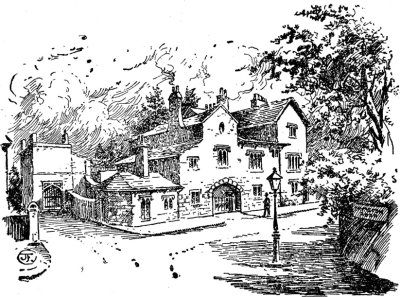
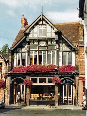
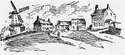
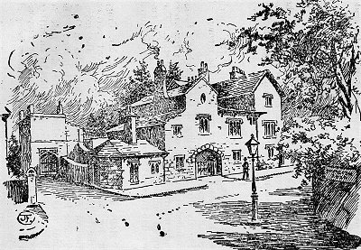
| The
Old Peacock Inn 1829 |
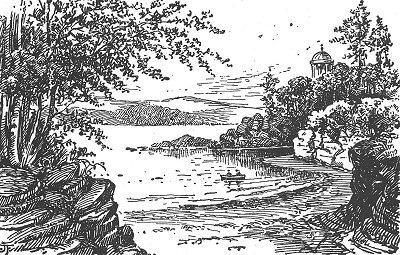 |
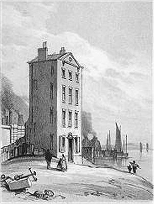
| Knott's
Hole in the 19th Century |
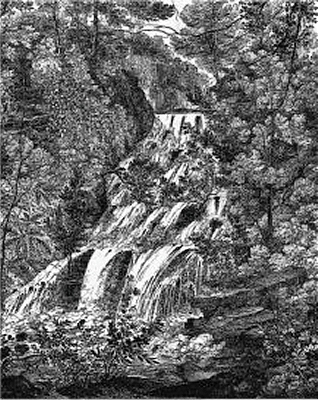 |
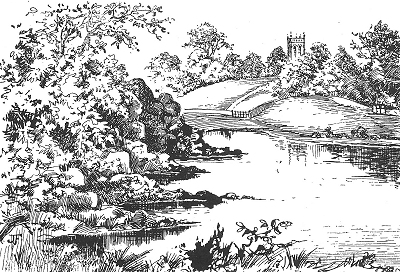
| Waterfall
on the Osklesbrok near Otters Pool |
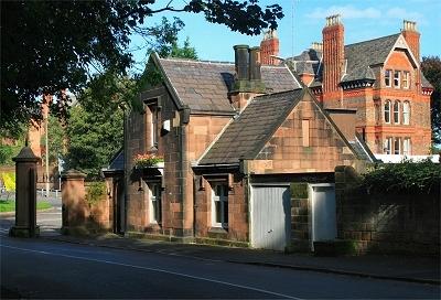 |
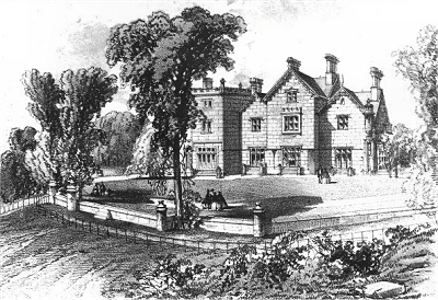
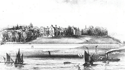
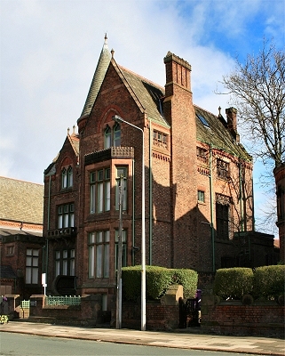
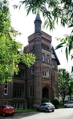
| Fulwood
Park Lodge |
 |
| Prince's
Park |
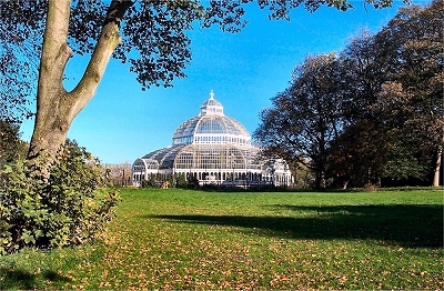 |
| Sefton
Park Palm House |
|
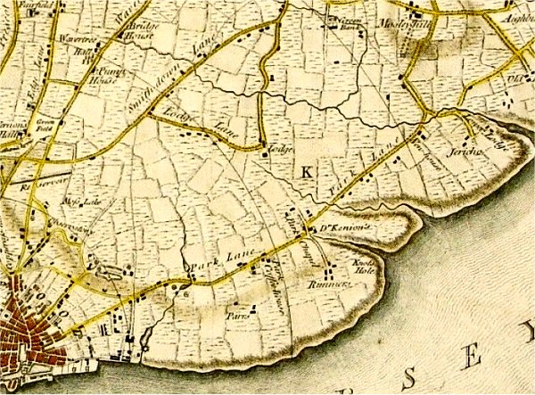
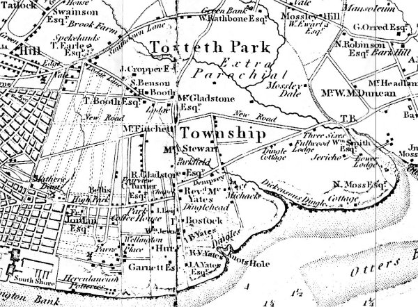
| The
area became King John's hunting park in the early
13th century, when he established the Borough of
Liverpool. It reached from the Pool of Liverpool
to Otterspool: three miles along the waterfront
and two miles inland. He took over Esmedune in exchange for Thingwall
and the village subsequently disappeared. |
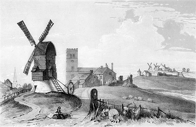
| Toxteth
Park remained a private game park, completely
rural in character, until 1604, when farming
began. It was apparently never completely wooded
and must have been very attractive countryside.
Four streams traversed it: an unnamed brook from the Moss Lake, Dingle Brook, Dickenson's Dingle and the Osklesbrok. |
| King
John erected two hunting lodges, the Higher
Lodge at the junction of Lodge Lane and
Ullet road (both ancient byways) and the Lower
Lodge at Otterspool on the north bank of the
Osklesbrok on the site of the disused Otterspool
Station. The Higher Lodge was apparently built
into the structure of the present-day Park
Lodge. |
| Toxteth Park
was granted to Sir Thomas Stanley in 1447 and to
Henry Earl of Derby in 1593. It ceased to be a
hunting park in 1591 and was disforested for
farming by 1605, when it was transferred to Sir
Richard Molyneux, to whose family the park had
been leased since 1346. |
| The Ancient Chapel of Toxteth was built sometime between 1604
and 1618 on Park Lane. Richard Mather, a Puritan, was
master of the local school. By 1635 he had fallen
inexorably into conflict with the church
authorities and set sail for Boston in the USA.
Nearby was the celebrated Park Coffee House,
later the Old Peacock Inn. |
| The
area south of the modern Aigburth Road and west
of Otterspool was settled by Puritans from about
1600 and was known as Jericho Farm. The
land was donated by Sir Richard Molyneux, who was
himself a Roman Catholic. The Lower Lodge was the
birthplace in 1619 of the famous astronomer
Jeremiah Horrox, who was taught by Richard Mather
as a boy, and, among a number of discoveries,
predicted and observed the transit of Venus in
1641. |
| By the
middle of the 18th century, Park
Lane was the
major route across Toxteth Park township,
beginning at the Pool, where there was a ferry.
In 1771 it was intended to develop the northern
end of Toxteth as a new town to be called Harrington.
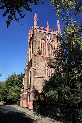
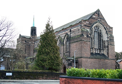
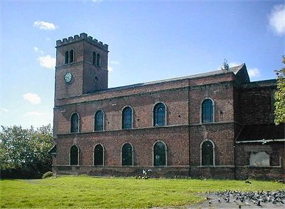
A street plan was laid out but only St. James Church (completed 1775) was built. The
turn of the eighteenth century brought instead
the expansion of industry and docks to the south
of Liverpool and with it the development of dense
and insanitary courts and terraces. |
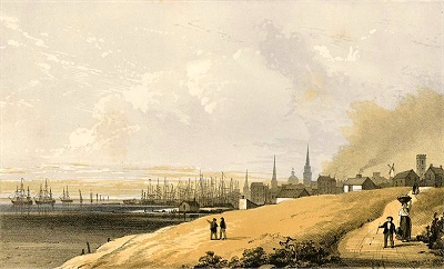
| However, the
southern part of Toxteth developed in quite a
different way. The wealthy started to establish
their villas near the shore here in what was
evidently attractive countyside crossed by
picturesque little streams. 1794 saw the opening
of the famous Herculaneum Pottery Company
near the Dingle on the site of a former copper
works. The pottery went on to produce fine china
but was dismantled in 1841. In 1810 the Mersey
Steel and Iron Company opened The Mersey
Forge, also known as the Toxteth Iron
Works, adjacent to the pottery. John Cragg's
iron framed St. Michael's Church and Hamlet appeared from 1815. |
| With the
growth of the docks came the inevitable expansion
of the population, the poorer people near the
docks and the wealthy further inland, e.g.,
Fulwood Park (1840s) and along Prince's Road
(laid out in 1846), near where beautiful parks
were created. |
| Prince's Park was the creation of iron merchant
and philanthropist Richard Vaughan Yates. It was
designed in 1842, slightly predating Birkenhead
Park, but was not initially a public park; it
later became Liverpool's first such. It
established a model for the future of urban park
design, separating vehicular and pedestrian
traffic and providing water, landscaped meadow,
wide views and winding paths. It was intended to
be integrated with exclusive housing around the
perimeter, the sale of which would provide for
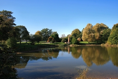
the park and its upkeep. The lake was formed by
the damming of a brook that once flowed through Dickenson's Dingle, a valley leading down to the
River Mersey at St Michael's. |
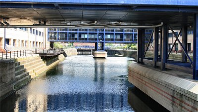
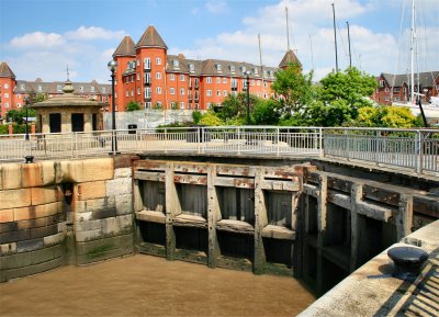
| Liverpool
City Council bought the land for Sefton Park in 1867 and the park was designed
by Lewis Hornblower and Edouard André. At the
time it was by far the largest public park in the
country since Regent's Park in London. The
finance model used for Prince's Park was adopted,
whereby costs were to be recouped from the sale
of plots around the perimeter for prestigious
housing. The park is laid out like natural
countryside rather than formal gardens, though
with boulevards, curving drives and an artificial
lake. It was opened to the public in 1872. The
lake was formed by the damming the confluence of
two streams, the Lower Brook and the Upper Brook. Between is the magnificent iron
and glass Palm House of 1896, which houses a
collection of exotic plants. |
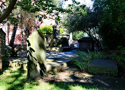
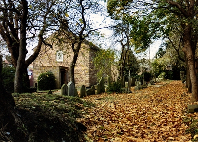
| Toxteth Park
Cemetery opened in 1856 to cope with the growing
population. However, from the Dingle to the
south, Toxteth remained gentrified and semi-rural
until about 1900. The Liverpool Overhead Railway,
with its terminus in the Dingle where the
Cheshire Lines Railway already came in from the
south, opened in 1893. |
| By the end
of World War II, much of the 19th century housing
that had survived bombing was declared unfit for
habitation and a massive program of slum
clearance began in the 1950s. Social problems did
not disappear, however. Unemployment began to
rise following the run-down of the docks and
after a long period of racial tension between the
black community and the police, the Toxteth Riots
broke out in 1981. The Merseyside Development
Corporation was formed in 1981 and began by
redeveloping a former landfill site into the
International Garden Festival in 1984. Since then
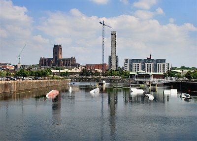
Toxteth has been on the way up, though social
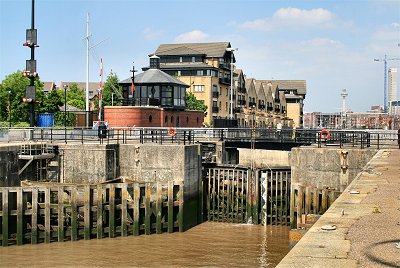
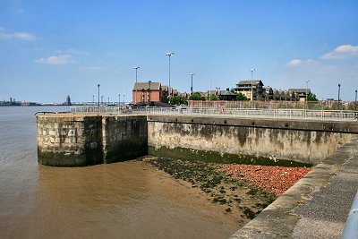
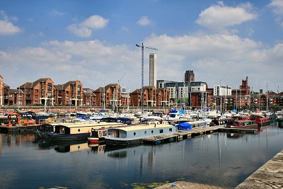
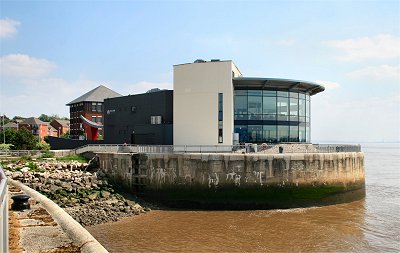
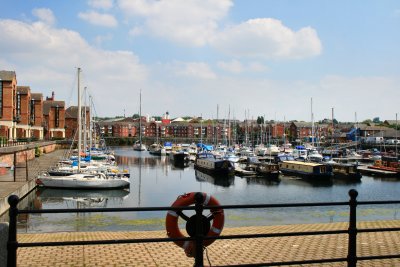
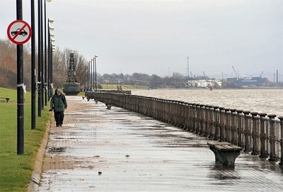
problems remain. The waterfront has become a
pleasant leisure area, the docks have been
redeveloped for high-end apartments, marinas and
businesses and extensive new housing areas have
been built inland. |
|
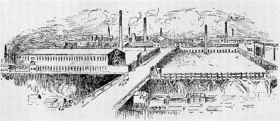 |
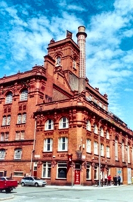
| The
Mersey Forge in 1907 |
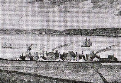 |
| The
Herculaneum Pottery c.1806 |
 |
| Dickenson's
Dingle and St. Michael's Church in 1820 |
 |
| John
Cragg's House in St. Michael's Hamlet. |
 |
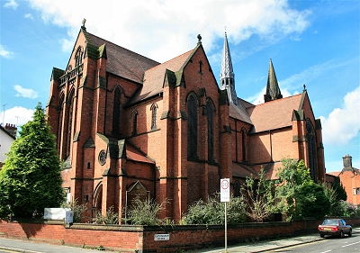
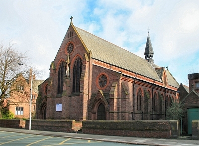
| St.
James's Church |
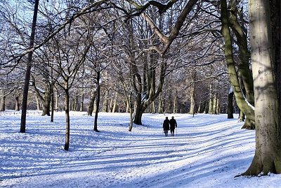 |
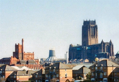
| Sefton
Park |
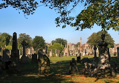 |
| Toxteth
Park Cemetery |
|